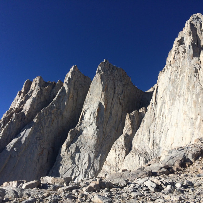
 How can I quantify the number of rocks in this chute? I could easily count the number of boulders as large as a car by sight but what about the smaller ones? Definitely could not use imaging software. If I managed to count rocks correctly and sand and dust, I could then calculate an erosion rate. Then I could figure out if the thousands of people who climb this route are causing excessive erosion off the beautiful Mnt. Whitney. Who am I kidding, just look at the foot traffic and the state of that trail. It is obviously highly used and constantly eroding, I can hear the rock fall with each step. There is no reason you have to calculate or quantitate that. Ok, now focus on the climb. Left hand here, right hand here. But humans like numbers. Regulators need calculated evidence. So, numbers are necessary. For instance, terrain grades--people like to know that this is a Class 3 scramble and that coming up is a Class 1 trek. They like to know how many steps they have taken for the day, their heart rate zone during exertion, the exact vertical distance they have climbed and still have to accomplish. Numbers everywhere. Left hand there, right hand there, counterbalance with the left foot. How would we engineer a robot to do this climb? It would have to do all of the calculations for balancing properly. Don’t put too much weight on that foot, make a quick transfer to the other, find a really good foot placement to get over this boulder, check the stability of that one before grabbing. All of these things are intuitive for our bodies and would not be so easy to explain or define externally. But then again, these are not exactly intuitive. It takes quite a bit of time to learn how to move our bodies efficiently. Following others and learning from someone more experienced helps a lot, but nothing beats experience (putting in the time and adapting your methods with each new opportunity). No outright calculations are made, but somehow, I manage to successfully navigate up the difficult trail to the top of Mnt. Whitney. I think of hikes with my parents, runs down Cedar Mountain with my high school ski coach, Marty. I remember navigation with Christi (college ski coach). These are not numbers either, but memories of moments, lessons ingrained in my muscle. With each difficult section of trail that I overcome, the feeling at the summit feels that much better. A familiar satisfaction triggered by the warm sun on my body. For a moment, I stop quantifying and questioning, letting myself feel awe at the endless rows of valleys and mountains into the distance. Of course, as my feet resume movement (to get me down off this peak), my mind resumes its inquiry. Is that a hybrid bird following me? How does that chipmunk survive the winter at 14,000’? What types of trees are these? How is it that there is a 0’ spot at Death Valley right over there and the highest point in the US over here- so close together? Why are so many humans excited by climbing mountains and attracted to nature? Why have we lost contact with nature? Why is outdoor gear so expensive? I’ve learned that it is easy to ask questions and ponder the unknown. Following through with the scientific method—searching through human knowledge (usually in the form of literature), developing a protocol to address the question, carrying out the protocol, analyzing the data and drawing conclusions from it—takes a lot of time and effort. Many questions that I would be willing to devote a lifetime to answering, are not equally valued by society or funders. So that means that I adapt my questioning, my route, myself to societal needs/funders’ needs. I do not have to quantitate that either, it is an intuitive molding, a balancing act necessary to keep from tumbling down the chute. 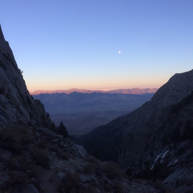
0 Comments
Leave a Reply. |
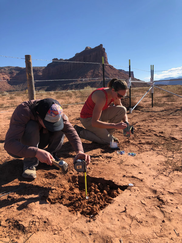
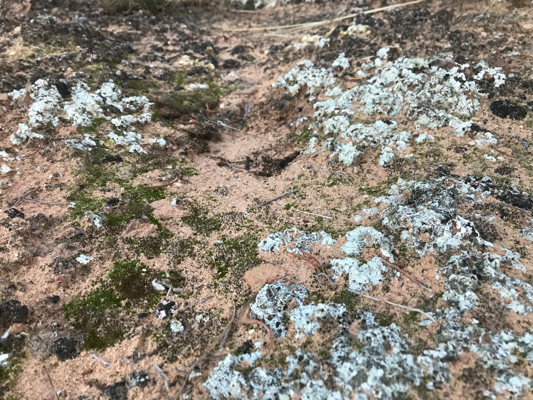
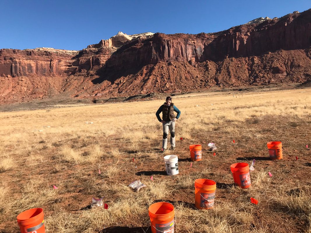
AuthorSierra is a graduate student in the Barger Lab at CU Boulder studying microbial ecology for dryland restoration. Archives
August 2023
Categories |
 RSS Feed
